Places In Blues History
As part of our Places In Blues History series, here is a page on the reputed sites where Robert Johnson was poisoned.
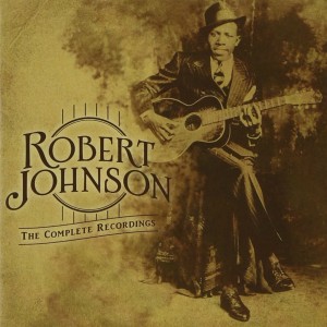
The generally accepted story of Robert Johnson’s death says that he was playing at a dance in a store, or a similar building, at Three Forks, near Greenwood, in Leflore County, Mississippi when he was given poisoned whisky by the jealous husband of a woman who was having an affair with Robert Johnson or whom Robert Johnson had been paying attention to.
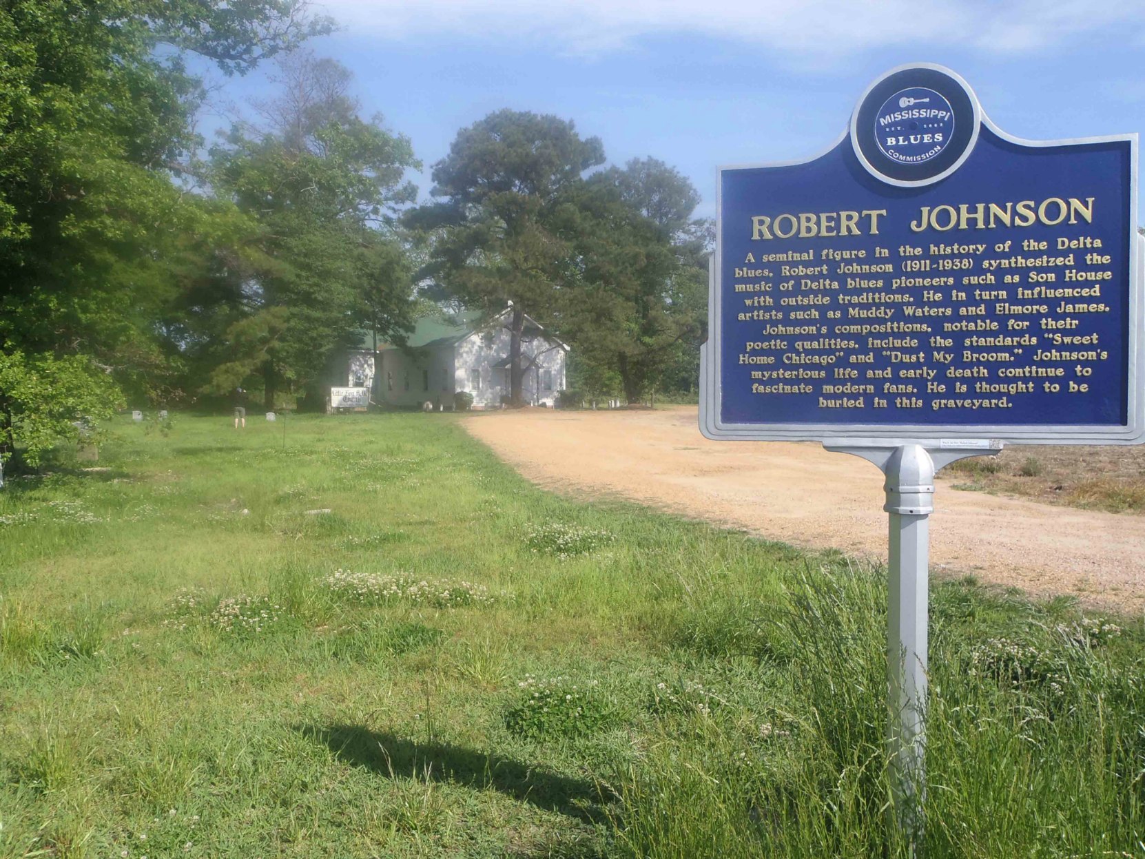
Many details about Robert Johnson’s life are uncertain and have been the subject of speculation and disagreements among researchers and historians. There are, for example, three reputed sites in Leflore County for Robert Johnson’s grave: one at Little Zion Missionary Baptist Church near Money; one at Payne Chapel Missionary Baptist Church in Quito; and one at Mount Zion Missionary Baptist Church in Morgan City.
The actual site of Three Forks, where Robert Johnson was reputedly poisoned, is another of those uncertain and unconfirmed topics. It has been the source of more speculation and discussion amongst researchers.
There are two reputed sites for Three Forks. One is on the north side of the current intersection of Highway 49E and Highway 82, west of Greenwood, and the second is south of Greenwood at the intersection of Highway 7 and Leflore County Road 512, near Quito. Both are “T” intersections, hence the idea of Three Forks, or an intersection with roads leading in three directions.
We think the available evidence supports the intersection of Highway 49E and Highway 82, west of Greenwood, as the most likely site of the Three Forks where Robert Johnson was poisoned.
The Intersection of Highway 49E and Highway 82
The current intersection of Highway 49E and Highway 82 west of Greenwood, Mississippi is slightly south of where the intersection was reportedly located at the time of Robert Johnson’s death in 1938.
The evidence for this being the site where Robert Johnson was poisoned comes from David “Honeyboy” Edwards’ autobiobraphy, The World Don’t Owe Me Nothing.
Honeyboy Edwards says:
“……Them bootleggers would try to get the best guitar player, then you get the biggest crowd following him. So this particular Saturday, Robert was playing [on the street in Greenwood, Mississippi] and this man come up and asked him, “I’d like to get you workin’ tonight. I’ll pay you three dollars.” And three dollars was a lot of money then. Robert said, “Alright.” Robert stayed in town a few more hours and made a little money on the streets. The man came back and picked Robert up about 9 o’clock.
This guy was a big whisky seller. He made a pretty good buck. He had a big gambling house out at Three Forks. It was about three miles out of Greenwood where Highway 82 runs into Highway 49, in a big house in the middle of a field. Three Forks Grocery was facing Greenwood, and behind the store was the big juke house this man used to run. That place got blown away in a tornado in 1942. They sold white whisky, hamburgers, hot dogs, had a big gambling shack in the back. The man kept a crowded house……”
Honeyboy Edwards goes on to say that the bootlegger who ran Three Forks poisoned Robert Johnson because the bootlegger’s wife started an affair with Robert Johnson.
Here’s a video of David “Honeyboy” Edwards discussing Robert Johnson’s death. The discussion starts at 4:00.
Elsewhere in The World Don’t Owe Me Nothing, Honeyboy Edwards describes Tommy McClennan and Robert Petway playing “at Three Forks, right outside of Greenwood. Two lanes come into Greenwood, one from Shellmound, the other from Itta Bena, and there was a little juke house at that crossroads, called it Three Forks…….”
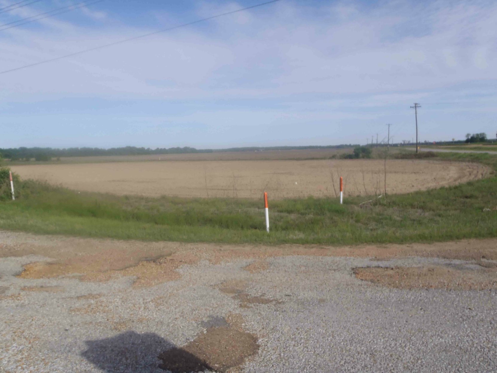
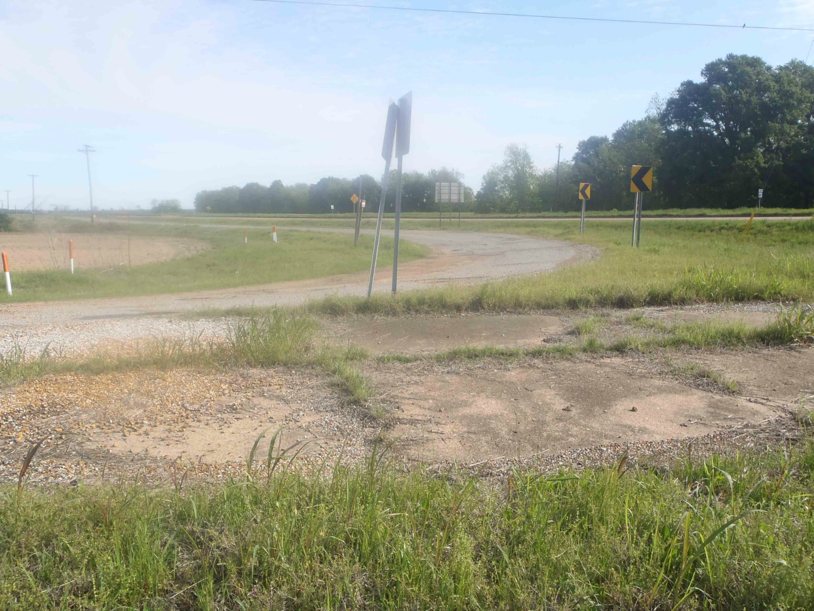
The northwest corner of the present intersection of Highway 82 and Highway 49E has a two lane road running east-west, one lane in each direction, just north of, and parallel to, Highway 82, with an intersecting curve heading north east toward the present Highway 49E. The GPS location of this site is: N 33° 31.929′ W 90° 14.499′.
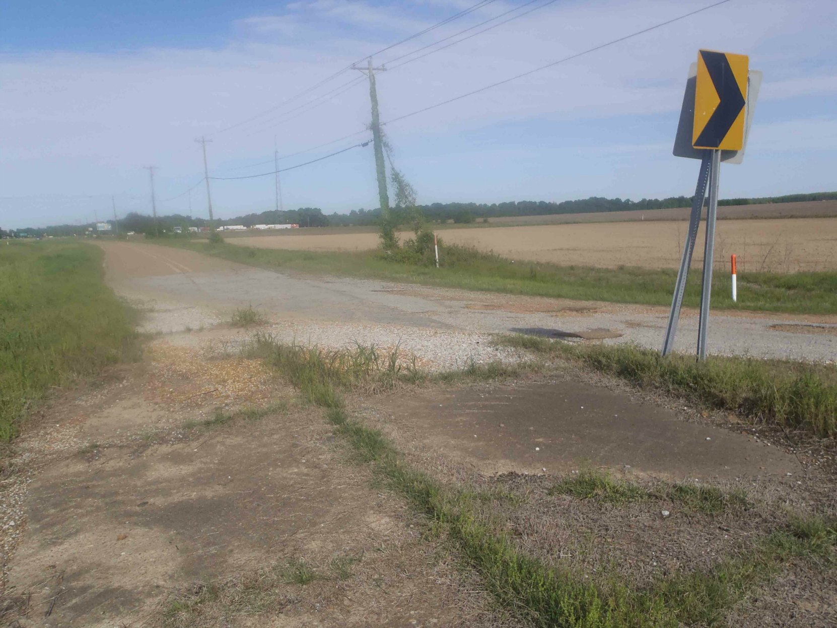
This intersection, looking toward the west, appears in the photo above. There is no store or building at the site and there is no readily apparent evidence of a store or any other building ever having been there.
The east-west road and its intersection with the curve heading north east create a three sided intersection which arguably fits the “Three Forks” name of the location where Robert Johnson was reputedly poisoned.
The two photos below show this site looking toward the north (first photo below) and toward the north east (second photo below).
The photo below shows this road looking east. The present Highway 49E can be seen in front of the trees in the photo.
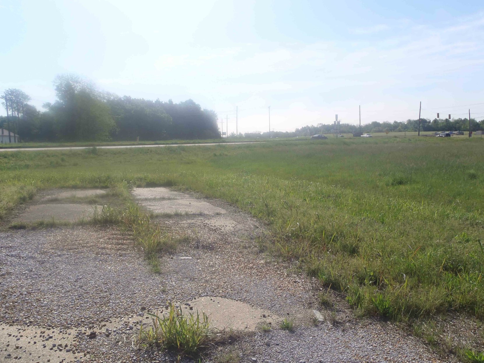
Honey Edwards recalled Three Forks Grocery as a building in the middle of a field. The photos above show the view of the fields at this site. There is no visible evidence of a building having been here.
The photo below shows how this road appears from the opposite, or east, side of Highway 49E, looking west from the north east corner of the intersection of Highway 49E and Highway 82.
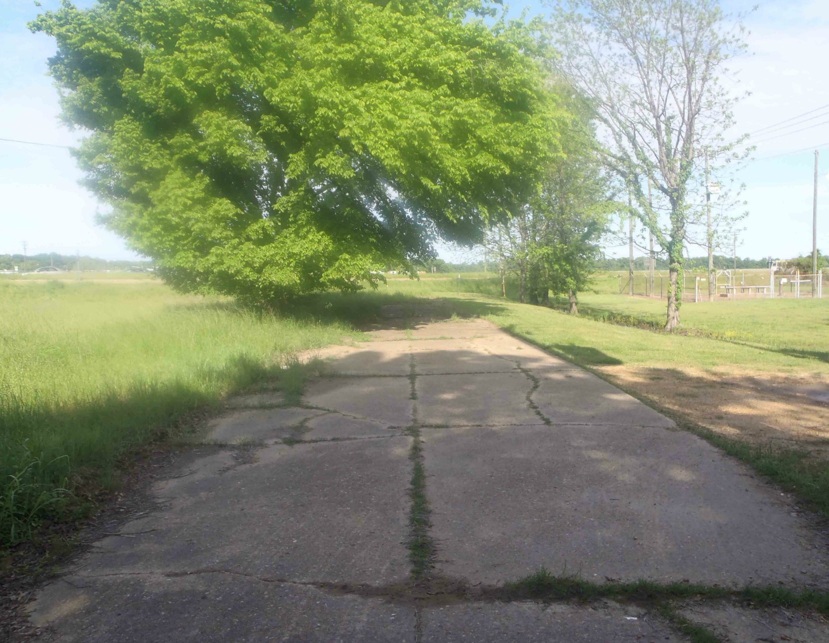
This road ends just beyond the tree shown in the photograph above but it lines up directly with the end of the east-west road on the west side of Highway 49E shown in the photos above.
The GPS location of this site is: N 33° 31.925′ W 90° 14.400′
It is quite possible that this east – west road once connected with the east – west road ending on the opposite, or west, side of the present Highway 49E and may have been connected to that road at the time of Robert Johnson’s death in 1938.
There is a small church and cemetery at this site (see photo below) but none of the grave stones in the cemetery display burial dates earlier than 1990, so it is unlikely this church dates back to the 1930’s.
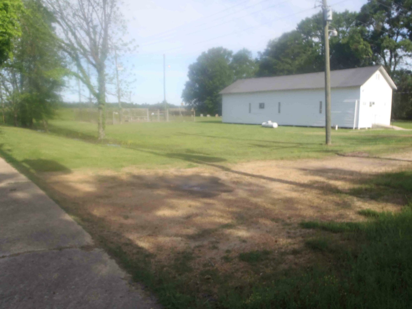
But it is the only building, and only evidence of a building, at this site.
If this was, in fact, the site of the “Three Forks” where Robert Johnson was reportedly poisoned while playing at a dance, there is no readily apparent or visible evidence present to connect this site with the events surrounding Robert Johnson’s poisoning, and subsequent death, in 1938. But, despite the lack of any visible surviving physical evidence that this is the site where Robert Johnson was poisoned, David Honeyboy Edwards’ evidence suggests this site at the intersection of Highway 49E and Highway 82 is likely the place where Robert Johnson was poisoned.
David Honeyboy Edwards says the bootlegger who ran Three Forks poisoned Robert Johnson because the bootlegger’s wife started an affair with Robert Johnson and that the Three Forks juke was destroyed in a tornado about 1942 so the absence of any surviving physical evidence of the building at this site is explicable.
[Note: in May 2020 we were contacted by Joe Bochek, one of our readers, who told us the following:
“Based on your article, and the mention of a tornado wiping out the Three Forks Juke Joint in 1942, I decided to look up the weather history news of the area and found a story about the tornadoes that hit the Greenwood area, on March 16, 1942 at 3 pm. The article specifically mentions the Tallahatchie River area. This falls right into line with what Honeyboy Edwards said. I quote the article, “The Delta towns of Itta Bena and Greenwood were hit around 3 p.m. by a family of twisters that killed 63 people. Five automobiles were hurled into the Tallahatchie River near Greenwood, killing six. Two school buses were hit.” Source: https://www.alabamawx.com/?p=16323”
Thanks Joe. Good researching.]
That brings us to the other reputed Three Forks site near Quito, south of Greenwood.
Highway 7 and Leflore County Road 512, near Quito, Mississippi
The second reputed site of Three Forks is the intersection of Highway 7 and Leflore County Road 512 near Quito, south of Greenwood, Mississippi.
The GPS location of this site is: N 33° 26.561′ W 90° 18.013′
There is nothing visible or evident at this intersection to connect it with the events surrounding Robert Johnson’s poisoning and subsequent death.
There is no evidence of a store or other building having been at this intersection in the past.
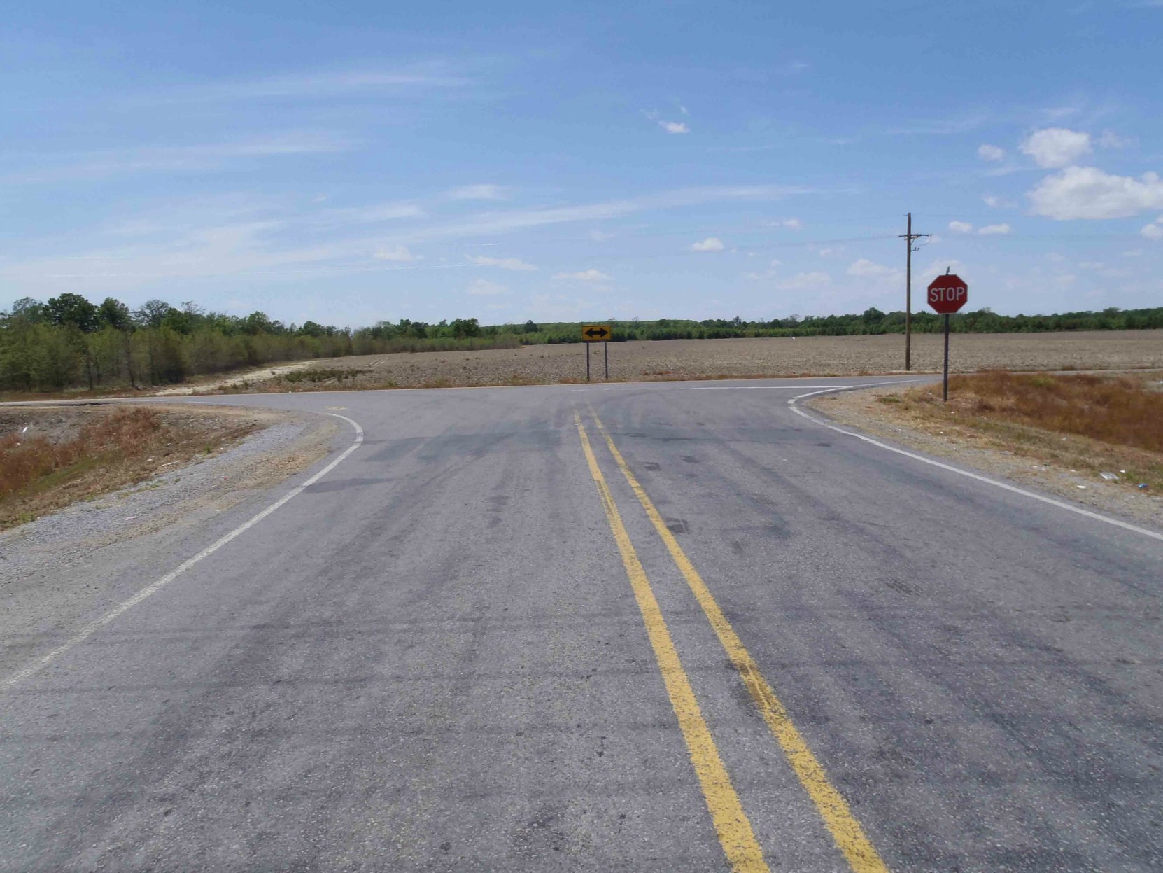
The photo above shows the intersection looking west on Leflore County Road 512 toward Highway 7.
The photos below show the views looking south and north on Highway 7 from Leflore County Road 512.
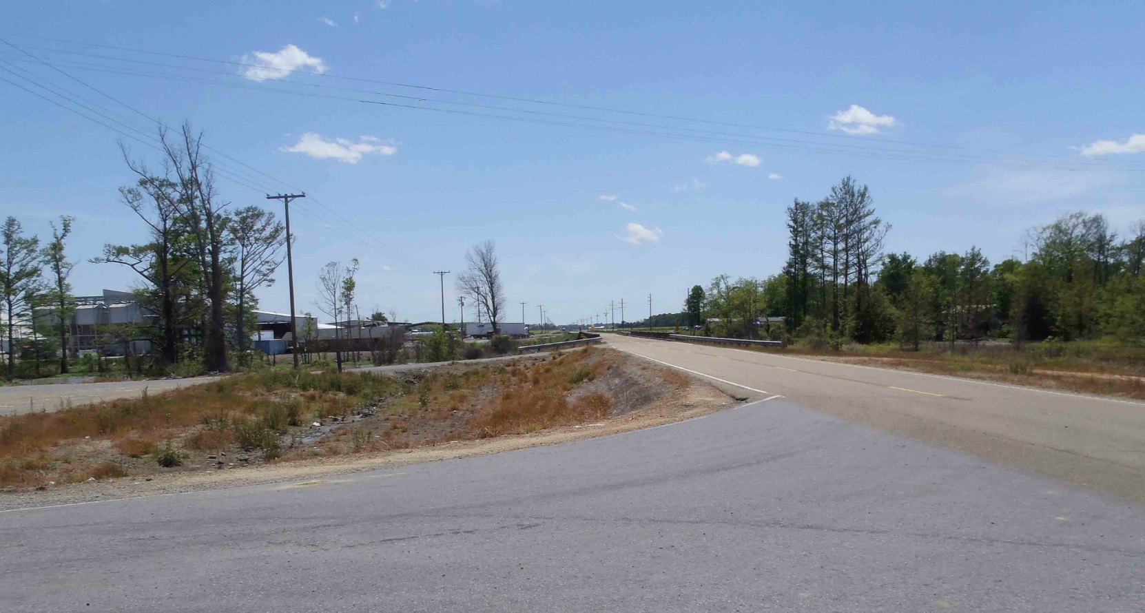
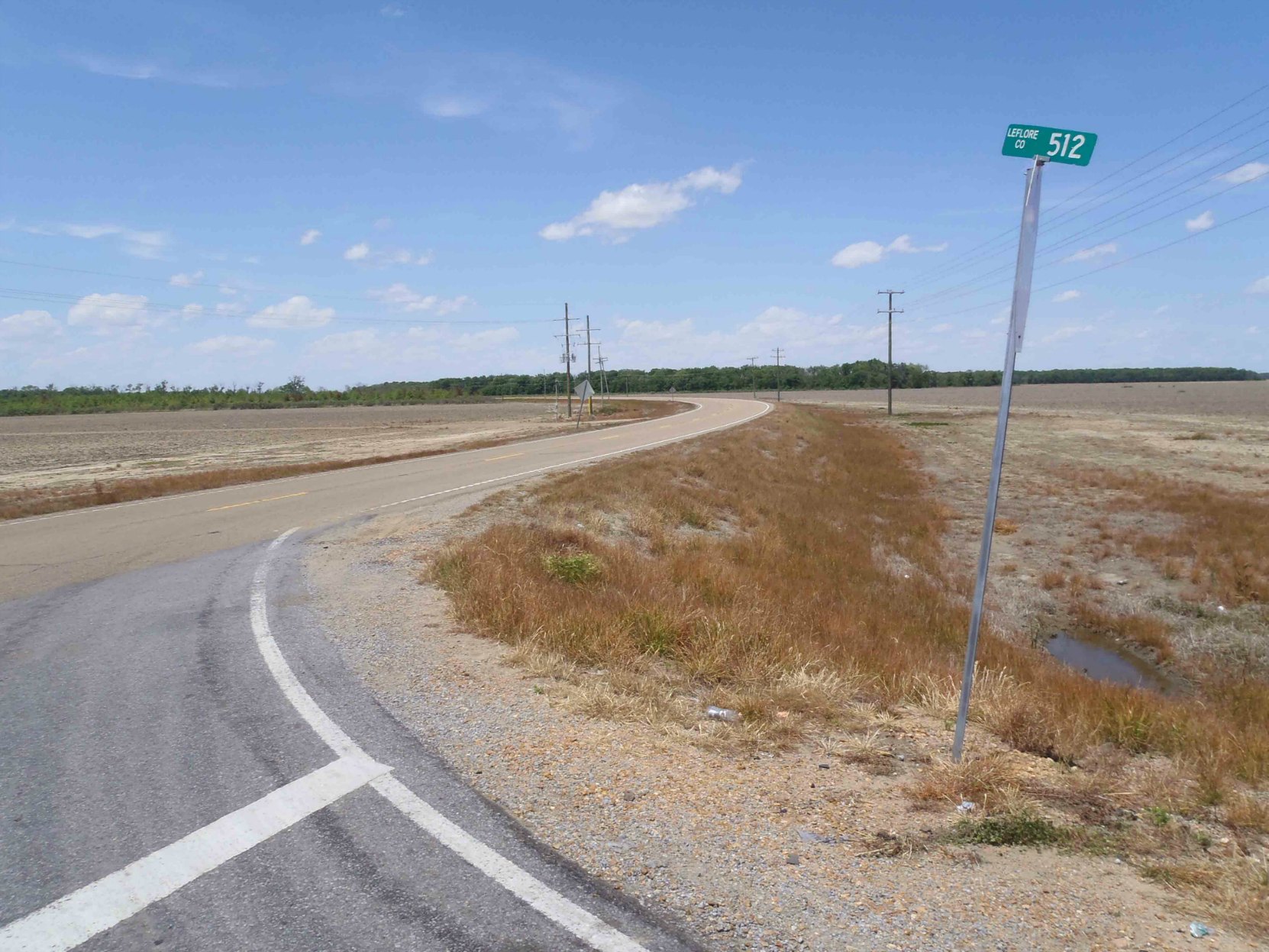
The US National Parks Service webpage for Robert Johnson says that the Three Forks Store was in Quito. The US National Parks Service website also says the Three Forks Store was moved to a new location on Highway 7. But David “Honeyboy” Edwards says the Three Forks store was at the intersection of Highway 49 and Highway 82 and that the Three Forks store was destroyed in a tornado about 1942. We just don’t see the available evidence supporting the Quito site as being the Three Forks where Robert Johnson was poisoned.
Based on David “Honeyboy” Edwards’ recollections in his autobiography, The World Don’t Owe Me Nothing, we lean toward the intersection of Highways 82 and 49E as being the more likely location of the Three Forks Grocery where Robert Johnson was poisoned.
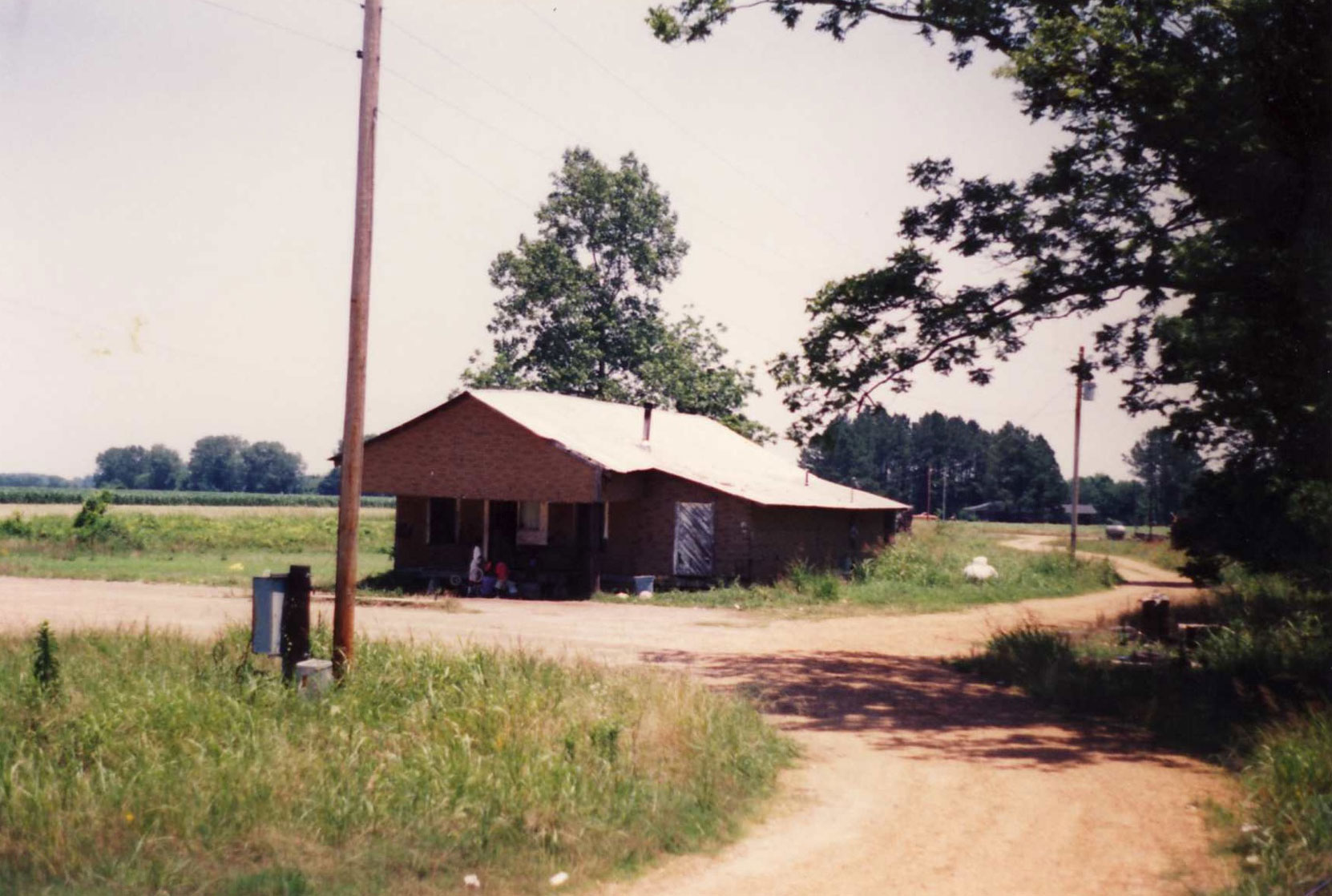
[Note: we received the photo below from one of readers, Terry Baker. It is a photo Terry Baker took of the reputed Three Forks store at Quito, Mississippi in 1995. We have put up a post on the website with Terry Baker’s comments on the photo. This building has since been demolished. Thanks for the photo and the info Terry.]
Here is a map showing the location of Quito, Mississippi, Highway 7 and Leflore County Road 512:
Here is a Google Street View image of the intersection of Highway 7 and Leflore County Road 512:
Recommended Recordings of Robert Johnson
Would you like to leave a comment or question about anything on this page?